Abundance and Distribution of Hector’s Dolphin
Client: Ministry for Primary Industries (MPI), New Zealand
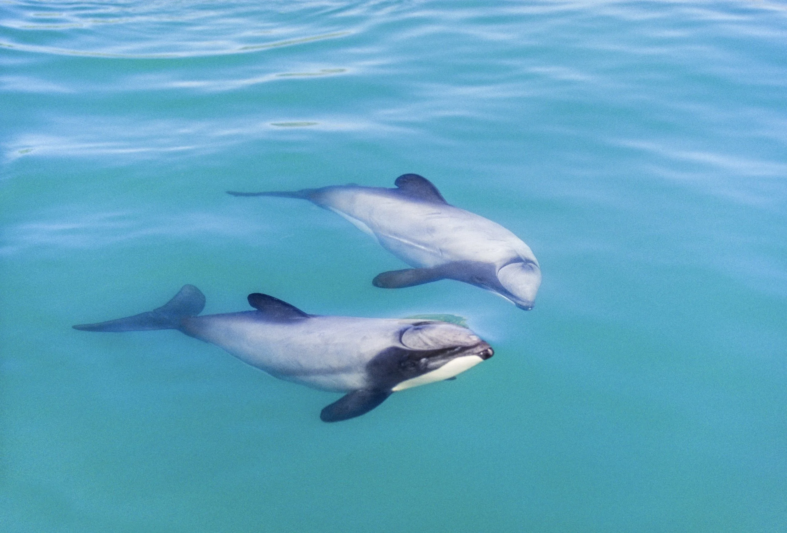
The Ministry for Primary Industries needed updated estimates of Hector's dolphin (Cephalorhynchus hectori) abundance along the east coast of the South Island (Te Waipounamu) to assess risk from commercial fisheries. The survey area covered about 42,700 km² between Farewell Spit and Nugget Point, stretching up to 20 nautical miles offshore.
We designed aerial surveys using a method that accounted for dolphins missed from the plane. Standard mark-recapture distance sampling assumes both observers share the same view zone, but in the aircraft types available in New Zealand, the two observer positions have different, overlapping view zones. We extended the method to handle this, an adaptation likely useful for aerial surveys elsewhere using similar aircraft.
Outcome: Dolphins were far more abundant than previously believed, particularly 4 to 20 nautical miles offshore, an area with little prior survey coverage. Our estimate was roughly 4.5 times higher than earlier boat-based surveys. We went on to design similar surveys for the west and south coasts, giving a more complete national picture to guide future protection efforts.
Method: Aerial line-transect surveys using mark-recapture distance sampling (MRDS), extended to account for different, overlapping observer view zones.